
Maps by Capt. Grenville Collins
Showing all 13 results
-
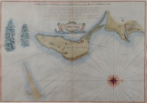
A Draught of Portland, The Shambles & the Race of Portland
Dated: c. 1779Image Dimensions: 24" x 16½" (61cm x 41.9cm) -
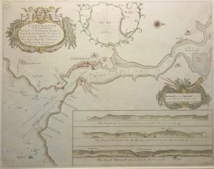
Dartmouth
Dated: 1693Image Dimensions: 23" x 18" (58.4cm x 45.7cm) -

Holyhead
Dated: C. 1696Image Dimensions: 22½" x 18" (57.2cm x 45.7cm) -
Islands of Orkney – chart, French Edition
Dated: 1690Image Dimensions: 23" x 18½" (58.4cm x 47cm) -
Milford Haven Islands
Dated: c. 1693Image Dimensions: 22½" x 18" (57.2cm x 45.7cm) -
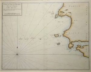
Milford Haven Islands, French ed.
Dated: c.1750Image Dimensions: 20½" x 16½" (52.1cm x 41.9cm) -
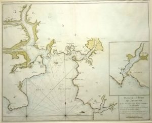
Plan de la Rade de Plymouth, French Edition
Dated: c.1700Image Dimensions: 22¼" x 18" (56.5cm x 45.7cm) -
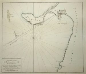
Sea Chart of Portland & Weymouth; French Edition
Dated: c. 1720Image Dimensions: 19½" x 17" (49.5cm x 43.2cm) -
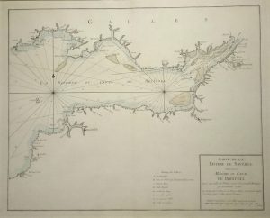
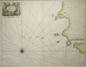
Sea Chart of The Bristol Channel, River Severn & Bristol; French Edition
Dated: c. 1720Image Dimensions: 23" x 18½" (58.4cm x 47cm) -
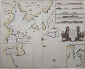
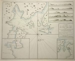
The Chief Harbours in the Islands of Orkney
Dated: C. 1675Image Dimensions: 22¼" x 17¾" (56.5cm x 45.1cm) -
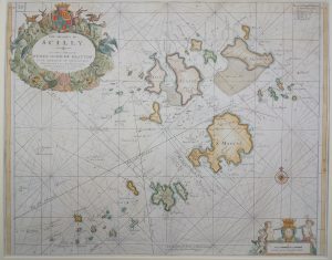
The Islands of Scilly
Dated: C. 1695Image Dimensions: 22½" x 18" (57.2cm x 45.7cm) -
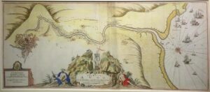
The River Avon from the Severn to the Citty of Bristoll (Bristol)
Dated: C. 1690Image Dimensions: 16¼" x 37¼" (41.3cm x 94.6cm) -
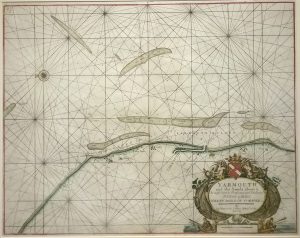
Yarmouth and the Sands about it
Dated: c. 1693Image Dimensions: 22¾" x 18" (57.8cm x 45.7cm)