
Maps by W & A.K. Johnston
Showing all 14 results
-
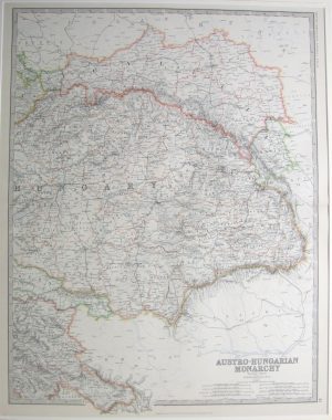
Austro-Hungarian Monarchy, Eastern Sheet
Dated: c. 1890Image Dimensions: 18½" x 23½" (47cm x 59.7cm) -
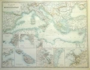
Basin of the Mediteranean, inserts of ports: Marsaille, Genoa Trieste, Gibraltar, Valetta, Venice & Alexandris.
Dated: c. 1890Image Dimensions: 23½" x 18½" (59.7cm x 47cm) -
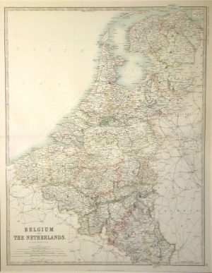
Belgium & The Netherlands
Dated: c. 1890Image Dimensions: 18½" x 23½" (47cm x 59.7cm) -
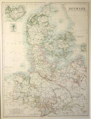
Denmark with inset of Iceland & Copenhagen
Dated: c. 1890Image Dimensions: 13¼" x 17½" (33.7cm x 44.5cm) -
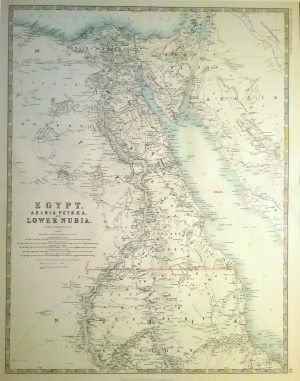
Egypt, Arabia Petrae & Lower Nubia
Dated: c. 1890Image Dimensions: 18½" x 23½" (47cm x 59.7cm) -
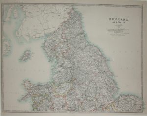
England & Wales, Northern Sheet
Dated: c. 1880Image Dimensions: 23½" x 18½" (59.7cm x 47cm) -
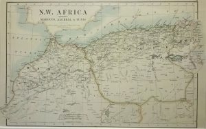
N W Africa (Morocco, Algeria, Tunis),
Dated: c. 1880Image Dimensions: 19" x 11¼" (48.3cm x 28.6cm) -
North America
Dated: c. 1880Image Dimensions: 13½" x 17¼" (34.3cm x 43.8cm) -
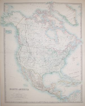
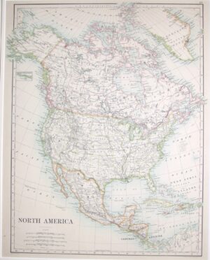
North America
Dated: c. 1890Image Dimensions: 19" x 23¾" (48.3cm x 60.3cm) -
North West Africa comprising Marocco, Algeria & Tunis
Dated: 1861Image Dimensions: 13¾" x 8½" (34.9cm x 21.6cm) -
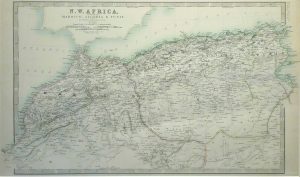
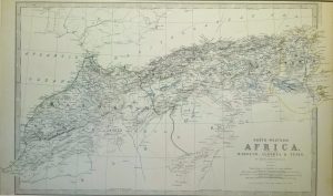
North West Africa, Marocco, Algeria & Tunis
Dated: c. 1880Image Dimensions: 19¼" x 11½" (48.9cm x 29.2cm) -
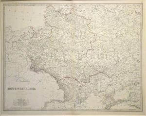
South West Russia
Dated: c. 1890Image Dimensions: 23¼" x 18½" (59.1cm x 47cm) -
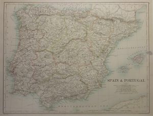
Spain and Portugal
Dated: C. 1880Image Dimensions: 17½" x 13½" (44.5cm x 34.3cm) -
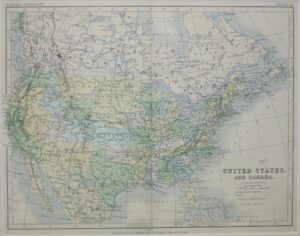
United States & Canada
Dated: c. 1880Image Dimensions: 12¼" x 9¾" (31.1cm x 24.8cm)