
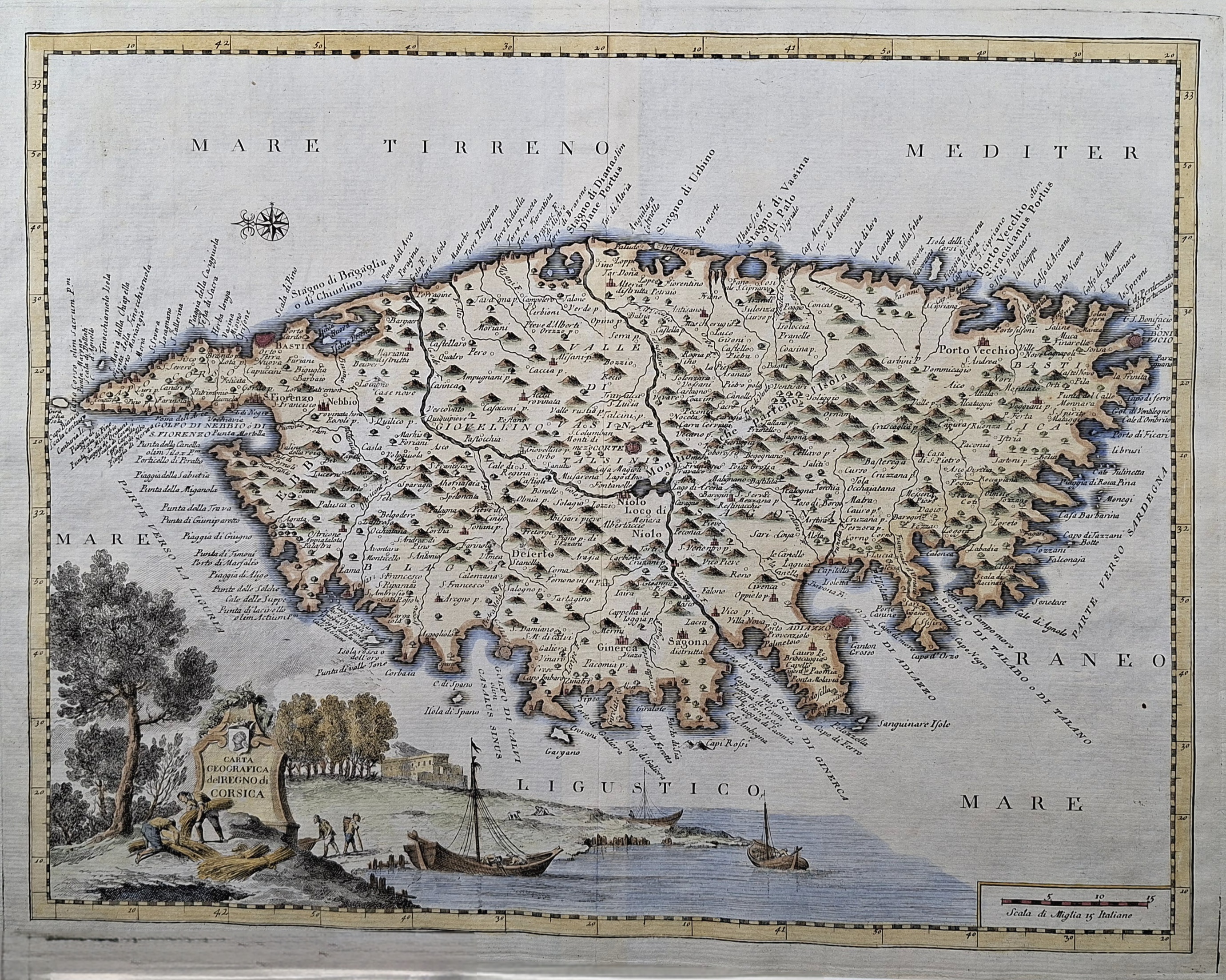
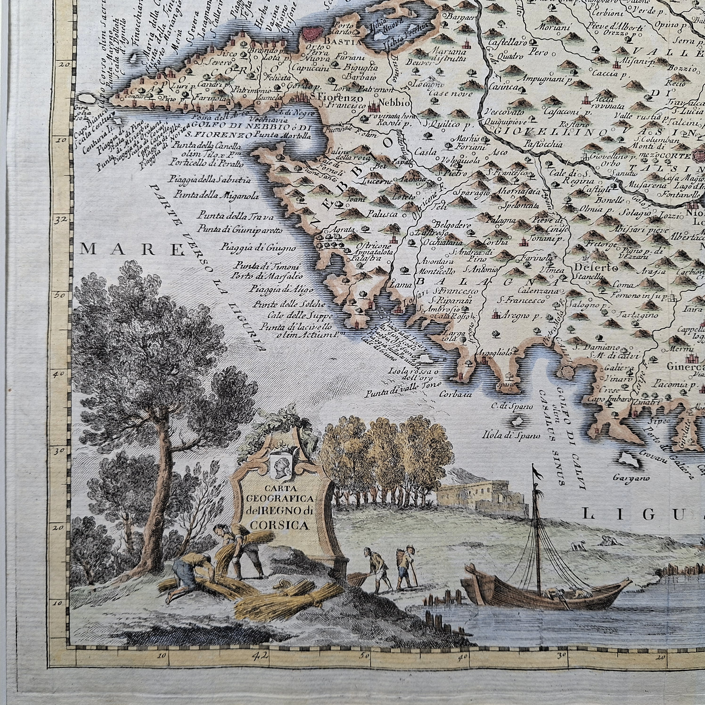
Carta Geografica del Regno di Corsica (the Island of Corsica)
This is an original 18th-century copperplate engraving of the island of Corsica. It was published in Venice by Giambattista Albrizzi for the historical work Lo Stato Presente di Tutti i Paesi, e Popoli del Mondo. The geography is based directly on the pioneering work of the royal French cartographer Guillaume De L’Isle, making this an authentic artifact of mid-18th-century Mediterranean cartography.
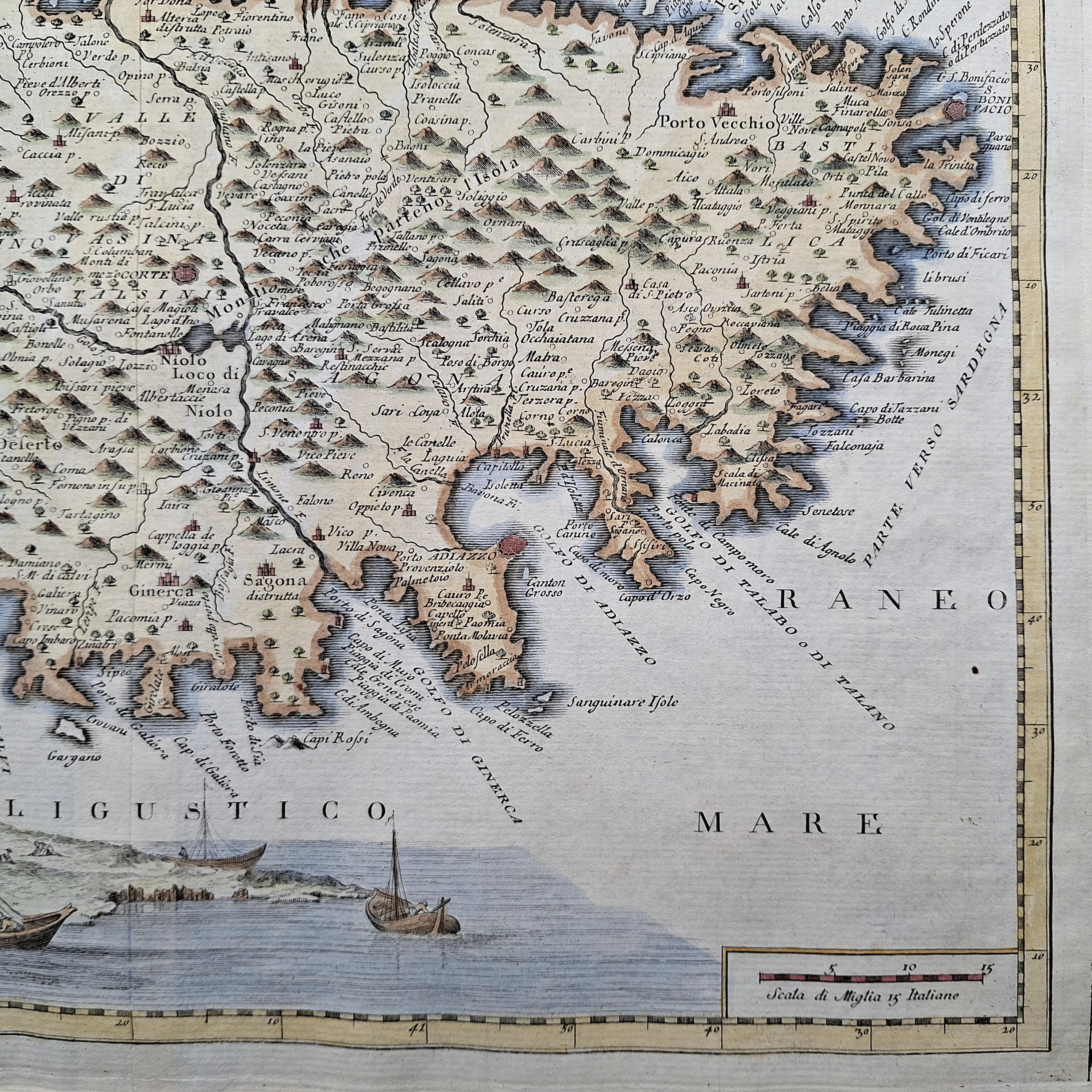
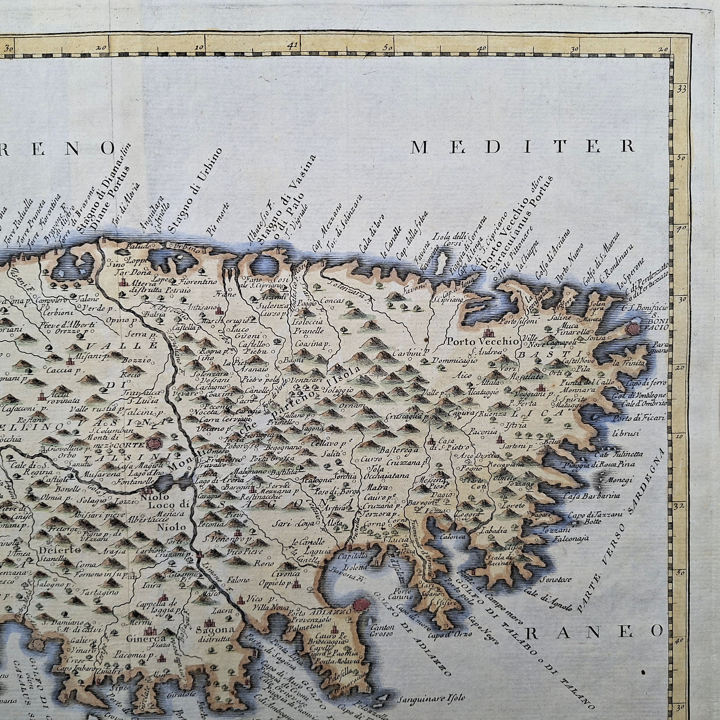
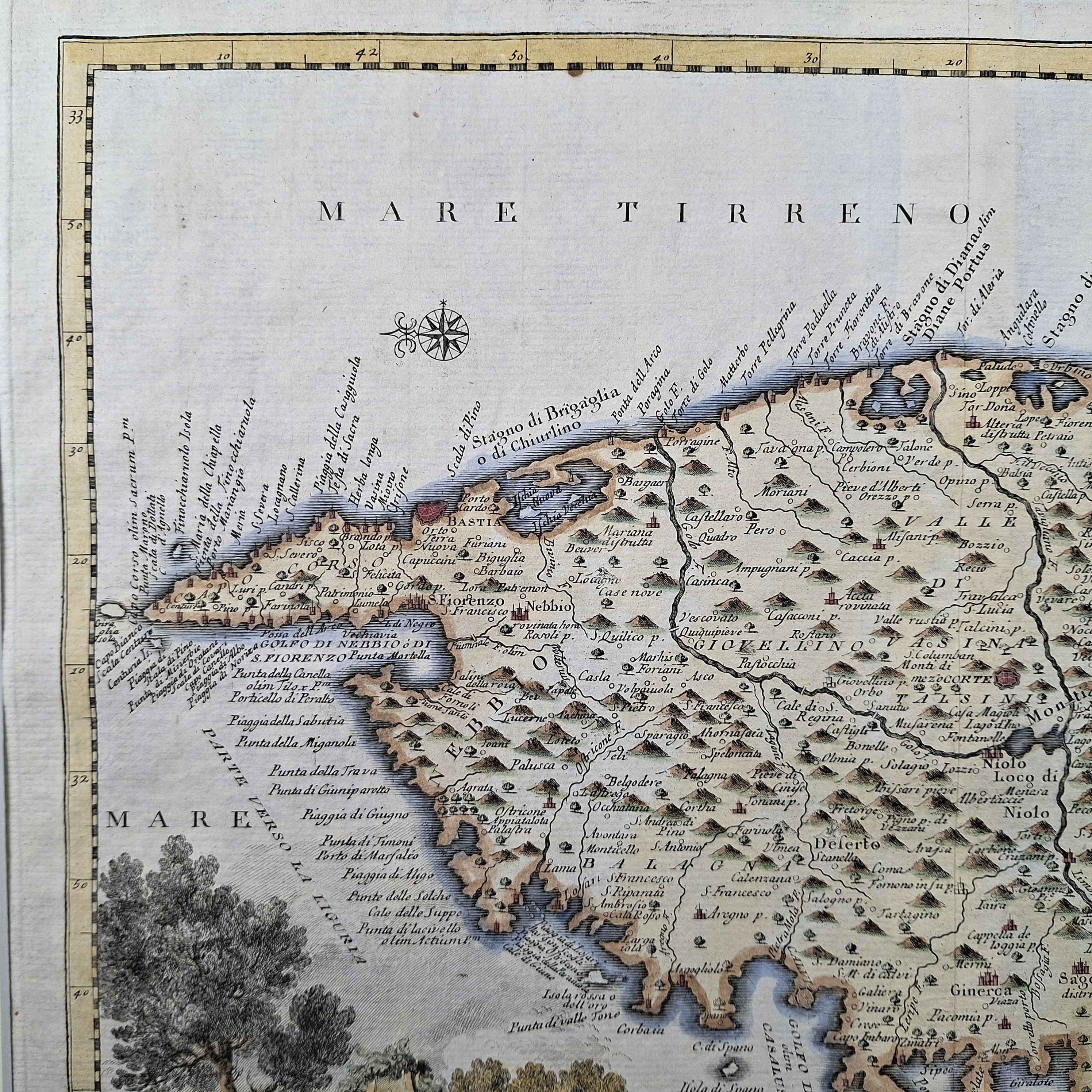
A notable feature of this map is its non-traditional maritime orientation, which plots North to the left-hand side of the sheet. This layout is clearly indicated by the elegant compass rose in the upper-left corner and reflects how 18th-century mariners navigated the surrounding Ligurian and Tyrrhenian Seas. The engraving contains dense, pictorial detailing of the island’s interior, including miniature mountain ranges, forests, river systems, and the historical names of early towns and fortified citadels.
The bottom-left corner features a decorative allegorical cartouche displaying the Italian title, “Carta Geografica del Regno di Corsica.” The scene illustrates local figures engaged in coastal fishing and harvesting. This combination of detailed topography and traditional Venetian engraving makes the piece an excellent acquisition for serious map collectors, historians, or anyone interested in Corsican heritage.
Contact us on 01935 814465 or use the form below.
You May Also Like
-
 Antique Maps
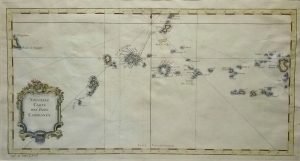
Antique Map of Nouvelle Carte des Isles Carolines (The Caroline Islands) by Jacques Nicolas Bellin
Dated: c1750Image Dimensions: 16" x 8½" (40.6cm x 21.6cm) -
 Antique Prints
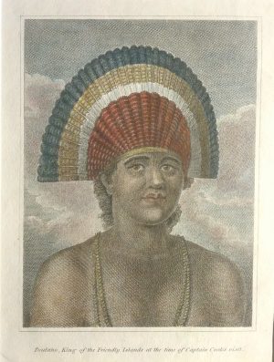
Poulaho, King of the Friendly Islands at the time of Captain Cook’s visit
Dated: c. 1780Image Dimensions: 6" x 7¾" (15.2cm x 19.7cm) -
 Antique Maps
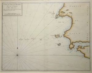
Antique Map of Milford Haven Islands, French ed. by Capt. Grenville Collins
Dated: c.1750Image Dimensions: 20½" x 16½" (52.1cm x 41.9cm) -
 Antique Maps
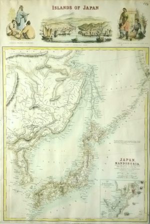
Antique Map of Islands of Japan with inset of Nagasaki, scarce by J Bartholomew
Dated: c. 1864Image Dimensions: 12" x 18" (30.5cm x 45.7cm)