
Somerset
This is our current list of Somerset Maps stocked in our gallery. Please use the Enquire Now button to ask a question or order and we will be back to you as soon as possible.
Showing all 11 results
-

A Map of the Country Seven Miles Round Taunton
Dated: C. 1800Image Dimensions: 19" x 22" (48.3cm x 55.9cm) -
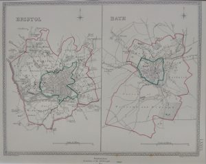
Plan of Bristol and Bath
Dated: C. 1870Image Dimensions: 9¾" x 7¾" (24.8cm x 19.7cm) -
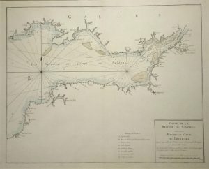
Sea Chart of The Bristol Channel, River Severn & Bristol; French Edition
Dated: c. 1720Image Dimensions: 23" x 18½" (58.4cm x 47cm) -
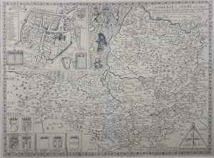
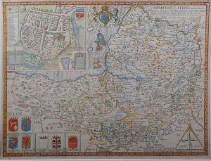
Somerset
Dated: 1610-11 1st editionImage Dimensions: 20½" x 15¼" (52.1cm x 38.7cm) -
Somerset
Dated: C. 1670Image Dimensions: 9½" x 7¾" (24.1cm x 19.7cm) -
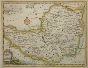
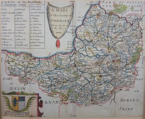
Somerset
Dated: C. 1750Image Dimensions: 10" x 7¾" (25.4cm x 19.7cm) -
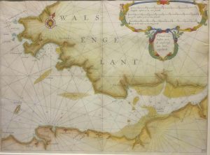
South Wales
Dated: 1628Image Dimensions: 14" x 10½" (35.6cm x 26.7cm) -
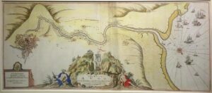
The River Avon from the Severn to the Citty of Bristoll (Bristol)
Dated: C. 1690Image Dimensions: 16¼" x 37¼" (41.3cm x 94.6cm) -
Somerset
Dated: 1610-11 c. 1612-14 EditionImage Dimensions: 20½" x 15¼" -
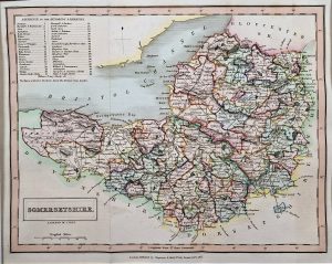
Somerset
Medium: Steel engravingDated: c. 1840Image Dimensions: 14¼" x 9½" (36.2cm x 24.13cm) -
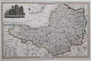
Somerset
Medium: Copper EngravingDated: 1831Image Dimensions: 10" x 8" (25.4cm x 20.32cm)